 A new e-book has been published by Hexagon outlining the benefits of combined radar and geodetic monitoring.
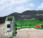
Mine Surveyors pay an integral part in setting up and maintaining slope stability monitoring systems.
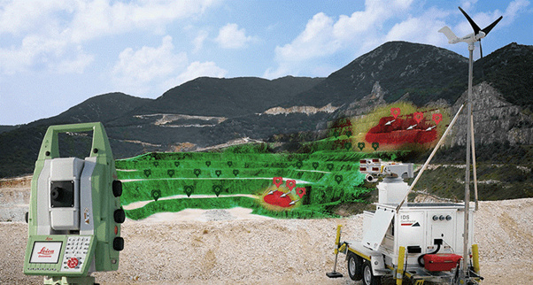
Automatic geodetic monitoring was introduced to mining in the early 1990s with the development of automated total stations. This was followed by GNSS technology, which brought about significant enhancement and new capabilities to geodetic monitoring in mines. In the past 15 years, radar technology has been rapidly developing and is also present today in the majority of open-pit mines. Both science and experience have proven that radar and geodetic monitoring are highly complementary, and their combination is essential to ensure the best balance between safety and productivity in open-pit mining.
With the ability to combine the data acquired from different technologies in one single platform, the Hexagon Geo Monitoring Hub software integrates Leica Total Stations, GNSS, InSar, tilt and radar sensors and enables faster and better informed hazard management strategies to be established.
In conclusion, the synergy between geodetic and radar technologies, along with fast cross analysis of their results are key to the safe operation and development of mines. Without the rigorous reduction of survey data and associated infrastructure, such as survey monuments for backsights, GNSS base stations by mine surveyors, the collected safety critical slope stability data would be meaningless.
You can find the e-book here:
https://hexagonmining.com/solutions/monitoring-portfolio/content-features
Alternatively you can contact the Hexagon mine monitoring team directly:
apac-minemonitoring@hexagon.com